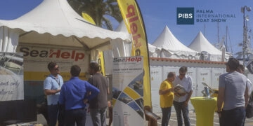
Sport skippers should always have up-to-date nautical charts on board. In addition to electronic charts, these do not always have to be new (paper) charts; it may also be worthwhile to correct older material. This also applies to Croatian waters. SeaHelp explains what should be paid attention to. Paper nautical charts represent (in addition to the now widespread electronic nautical...
Read more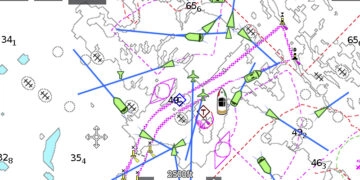
AIS (Automatic Identification System) is a transponder system as it has been known from aviation for a long time. Since December 2000, it has been chosen by the IMO as a mandatory standard and provides accurate data on the status of an AIS-equipped vessel to all other vessels in the vicinity. AIS equipment In principle, AIS equipment can be distinguished...
Read more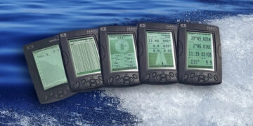
NAVTEX (NAVigational TEXt Messages) is an information service which has been introduced by the IMO for commercial shipping and has passed a functional test for the first time in 1977 in Sweden. Already in 1979, NAVTEX was the first NAVTEX transmitter network put into operation by the Baltic Sea states and with Resolution A.617 (15) already part of the GMDSS...
Read more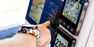
History More than 43 years ago, on February 22, 1978, the first satellite of the Navstar GPS system was launched into orbit by the United States Space Forces, ushering in a new era of position determination. Originally designed purely for military purposes, civilian use was permitted by order of then U.S. President Ronald Reagan after a Korean Air plane accident...
Read more