
Why Telascica Bay?
It wasn’t long ago that sailors were still discussing the most worthwhile cruising destinations in Croatia at sailing regulars’ tables, rather than on the web. Two names almost always came up back then: the Bay of Kotor. And the Telascica Bay at the southern end of the 23 nautical miles long island Dugi Otok, whose name means nothing else but this: “Long Island”.
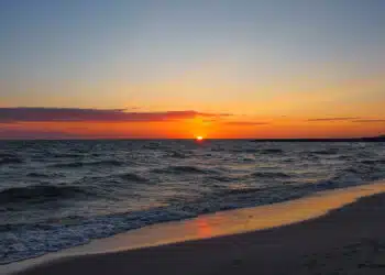
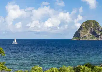
The myth of Telascica no longer shines as brightly as it did back then, but Telascica Bay itself is least of all responsible for this. Cutting three nautical miles deep into the southern end of the island, the bay is still a beauty worth visiting – even just sailing through its length. A mostly wave-less sea for late afternoon gliding under sail between countless islands and peninsulas.
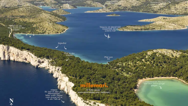
The far bigger highlights are hidden for the eyes of the sailors in the immediate vicinity. You can see them well on the above hidden picture: In the west the salt water lake Mir, which lies far above sea level and draws sea water through hidden channels.

Mit dem Laden des Videos akzeptieren Sie die Datenschutzerklärung von YouTube.
Mehr erfahren
And the cliffs abruptly dropping 160 meters steeply into the sea, continuing there another 80 meters under water. They are an uplifting sight from sea, but virtually undiscovered from there. For hardly any sailor has ever sailed the rough west side of the 45km long island of Dugi Otok against the often prevailing summer maestral. Both highlights can be explored on a hike from the nearby buoy field to the west of Telascica Bay.
Mit dem Laden des Videos akzeptieren Sie die Datenschutzerklärung von YouTube.
Mehr erfahren
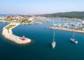
The way to the National Park
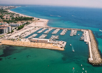
Regardless of which of the popular charter marinas Zadar, Sukosan, Biograd or Murter you set out from, the delightful route through the island world off the Kornati Islands is between 12 and 20 nautical miles, or between three to four and a half hours.
Where to anchor or moor
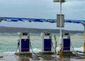
There is no marina, supermarket, gas station or town in Telascica Bay. The nearest town, Sali, is an hour and a half walk from Telascica Bay. So you have to rely on yourself – if it weren’t for the Toni Market boat, which supplies the yachties in the bay with fresh bread, fruit, vegetables, water and even wine twice a day during the high season. It can be recognized from afar by its mast painted like a maypole with a banana at the top.
Although surrounded by 25 secluded bays, anchoring in the bay is difficult because it is deep. Anchoring is possible and allowed only in some bays, because Telascica Bay has not been a free navigable water for years, but its own national park. Mostly one moors at one of the buoy fields, the largest of which with 45 buoys is located in front of the mentioned highlights Mir Sea and Cliff Path.
Mit dem Laden des Videos akzeptieren Sie die Datenschutzerklärung von YouTube.
Mehr erfahren
In the late afternoon you will moor for free at the jetty or buoys of one of the not even two handful of conobes and have dinner there to compensate. The quality of Telascica konoben varies greatly, from fast food to fish tavern with a zoo, everything is there. Which konoben are really worth staying, where and how to book there, is in the REVIER KOMPASS KROATIEN NORD.
What it costs
The Telascica National Park can be navigated only with a separate Telascica ticket. It costs, if purchased online – for vessels between 11 and 17.99 meters in length per day € 73. If you want to stay three days, you pay only for two days – after all. If you book online with one of the park rangers who are on their boats, you pay more.
Important to know for Telascica Bay:
The ticket for Kornati National Park is not valid for Telascica Bay! It is a separate ticket.
And that brings us to the reason why the myth of Telascica Bay does not shine as brightly today as it did in those days of sailors’ regulars: for most sailors, buying two neighboring national park tickets that could easily be one is too expensive. In any case, they prefer the ticket of the Kornati National Park, which we will present on the SeaHelp site in one of the next articles.
Good to know: The nearest SeaHelp base is located very close to Telascica Bay in Zadar Marina about 14 nm away. About the 24h EMERGENCY CALL NUMBER 0043 50 43 112 for Europe, the yellow breakdown helpers are available 24 hours a day and can be within 20 minutes in Telascica Bay. The bay is thus also quickly accessible for SeaHelp response boats in case of emergency.
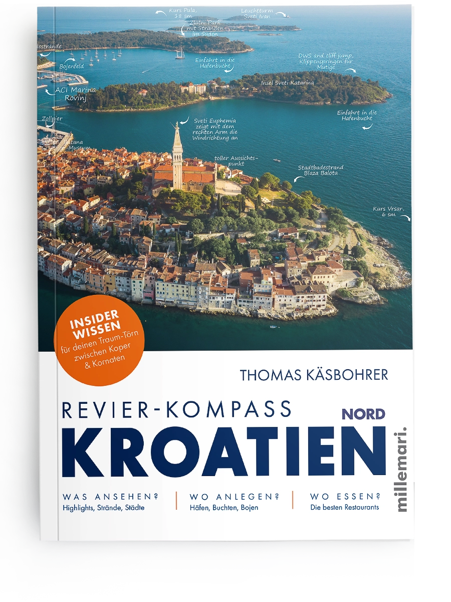
Much more info about Telascica Bay and 33 other highlights between Koper and Kornati can be found in REVIER KOMPASS NORD:
Insider knowledge for your dream cruise in Croatia:
www.millemari.de
Paperback: 160 pages
ISBN 978-3-96706-047-8
29,95 €
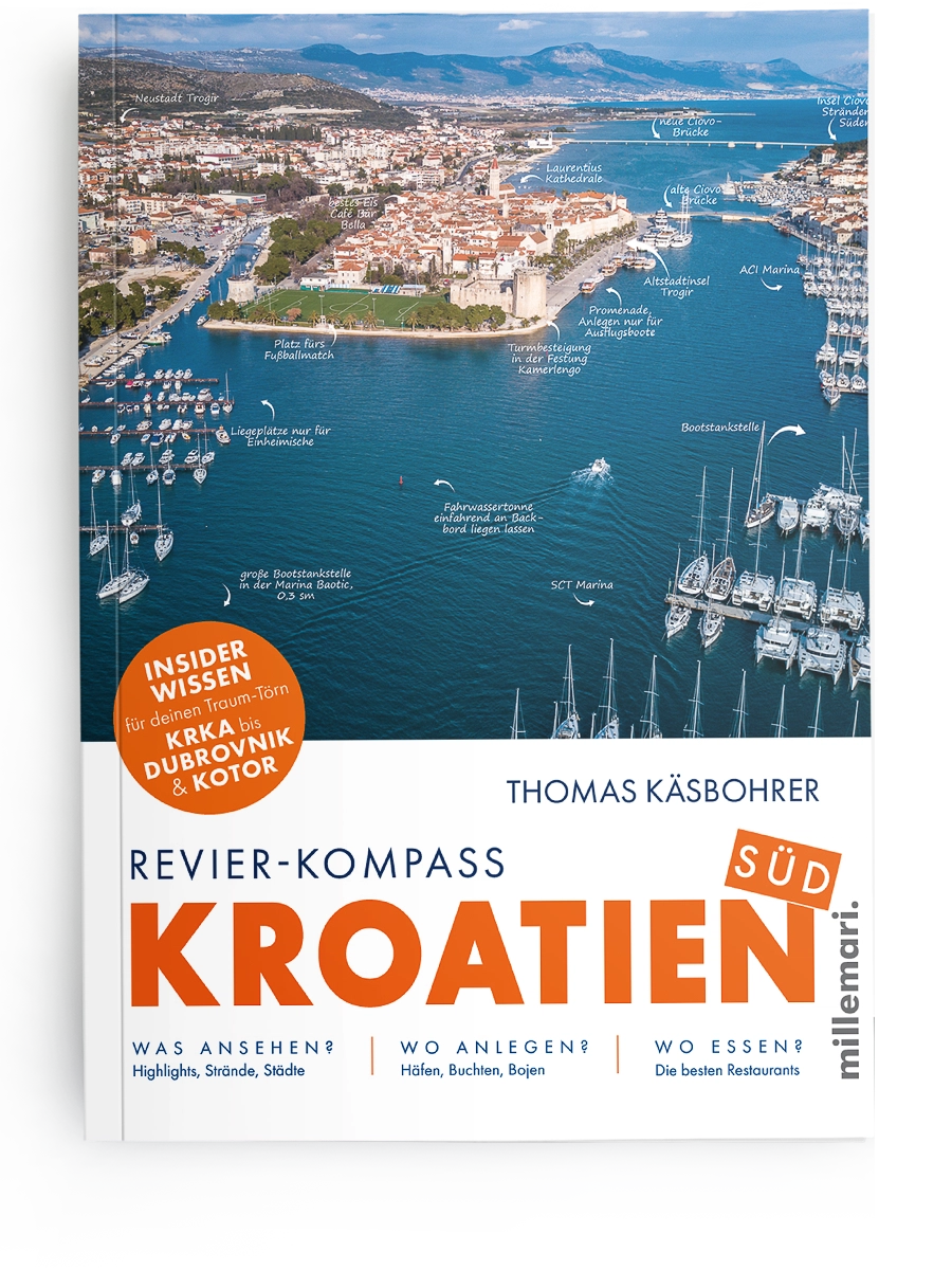
www.millemari.de
Paperback: 168 pages
ISBN 978-3-96706-051-5
29,95 €
Readers’ opinions:
“The Area Compass Croatia was in constant use on our charter cruise.”
“Other than the now-available, quite useful apps with cruising area information and this guide, we did not use or miss any other cruising area manuals.”
More videos on the topic on our YouTube channel:
Mit dem Laden des Videos akzeptieren Sie die Datenschutzerklärung von YouTube.
Mehr erfahren
Mit dem Laden des Videos akzeptieren Sie die Datenschutzerklärung von YouTube.
Mehr erfahren
Mit dem Laden des Videos akzeptieren Sie die Datenschutzerklärung von YouTube.
Mehr erfahren