






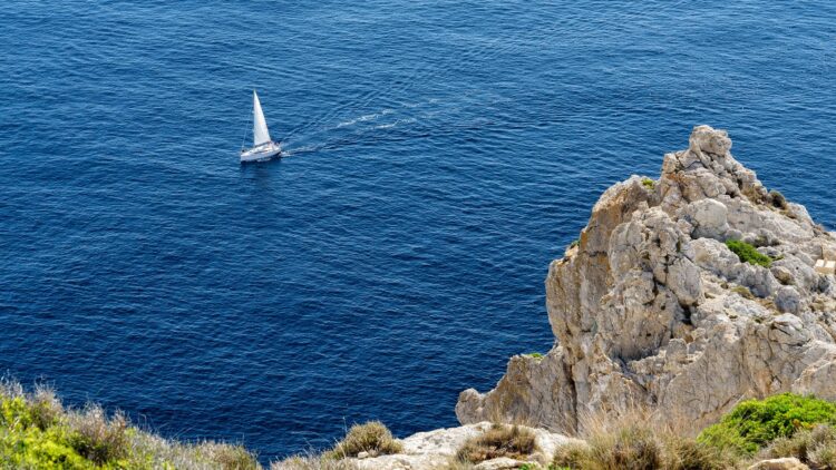
Artificial intelligence is increasingly being used as a tool for planning charter cruises. We tested the current version of ChatGPT and wanted to know how a circumnavigation of the Balearic Island of Mallorca can best work for a 10-12 meter yacht. Further specifications: Start in Palma, clockwise cruise, and an average of no more than 18-25 nautical miles per day distance to the next port / marina.
AI has also become an indispensable part of planning charter cruises – at least as a “rough overview,” the corresponding platforms of the various providers can certainly provide useful support.
Where should you charter in a specific area? How long should you plan for a specific cruise? Which ports are along the route (with service, gas stations, restaurants)? What are the most beautiful anchorage bays? And which sights should you definitely not miss during this charter?
Our “test cruise” is a circumnavigation of the island of Mallorca, total distance approx. 260–300 nm, we don’t want to sail more than 18–25 nm / day, and our yacht should be between 10 and 12 meters long. No problem for the latest (paid) version of ChatGPT, which we “interview” for this test – the result, a schedule with recommendations for ports, anchorage bays, and fueling stops, is spat out after just a few seconds of “thinking time.”
First, the program “praises” us that this clockwise route is “the right one,” because it makes perfect sense that we would tackle the “difficult west coast” first, then sail along the “relaxed north” – followed by the “bay-heavy east coast” and finally sail along the “calm south coast” back to the starting point of the journey.
“If you want to round Mallorca clockwise, you have to expect that you will have the wind dead ahead from Sant Elm to Cap Formentor,” warns Robert Perger from SeaHelp Mallorca; the crew needs to adjust to the fact that this will be a beating course, as the wind often blows from northeastern directions.
Specification: we want to start from Palma with a 10-12 meter sailing yacht and go counter-clockwise
We want to start in Palma (specification), as we know that various charter providers rent out suitable boats there, it is not far from the airport to the port / base, and there are good bunkering options. Accordingly, our “assistant” suggests taking over the boat in Palma for Day 1 and recommends a first leg “heading north” to Port d’Andratx (~18 nm). It says this is a “short start” that is also “very well protected.” The port recommendation suits us, although the direction of travel here would actually be southwest first, and only then a short stretch up north.
At the same time, the program warns us here: the west coast could certainly be “critical,” because there are “hardly any ports between Andratx and Sóller; with Tramuntana, it can quickly become ‘unpleasant to dangerous’.” Therefore, one should “plan alternatives early in the cruise.” If the west coast “doesn’t work,” the program recommends as “Plan B”: Palma (around the bottom, counter-clockwise) to the east coast and a bit up to the north – and back again. We think this is a good tip, because in fact, between Andratx and Sóller (port and Marina Tramontana), there is only the small port of Port de Valdemossa that could be approached.
Plus point: the AI warns us of potential dangers, gives notes on fueling stops, and also calculates (roughly) the mooring costs we will incur
For Day 2, the software recommends the stage from Andratx to Port de Sóller (~35 nm); it states this is a “key stage” that should only be done in “good weather,” as there are hardly any alternative ports (see above). Fueling stops on the “round trip” can also be easily made in Alcúdia and Cala d’Or, in addition to Palma, according to ChatGPT. As rough mooring costs, an average of €70–140 / night is calculated for this route, whereby we should note that Palma / Portals is of course more expensive and the east coast, on the other hand, is often cheaper; we should expect a total price for mooring costs of “approx. €1,000 – 1,800.”
On Day 3, the stage from Sóller to Cala Tuent (~10 nm) is on the agenda, which is described as a “deliberately planned buffer / enjoyment day” with good anchoring options, additionally intended to “reduce stress for the long northern passage.” Here, the AI plays a little trick on us: Cala Tuent is an idyllic, natural bay on the northwest coast of Mallorca, nestled in the Tramuntana mountains below Puig Major – but it is not a port / marina. The bay is a popular anchorage – but not a classic marina.
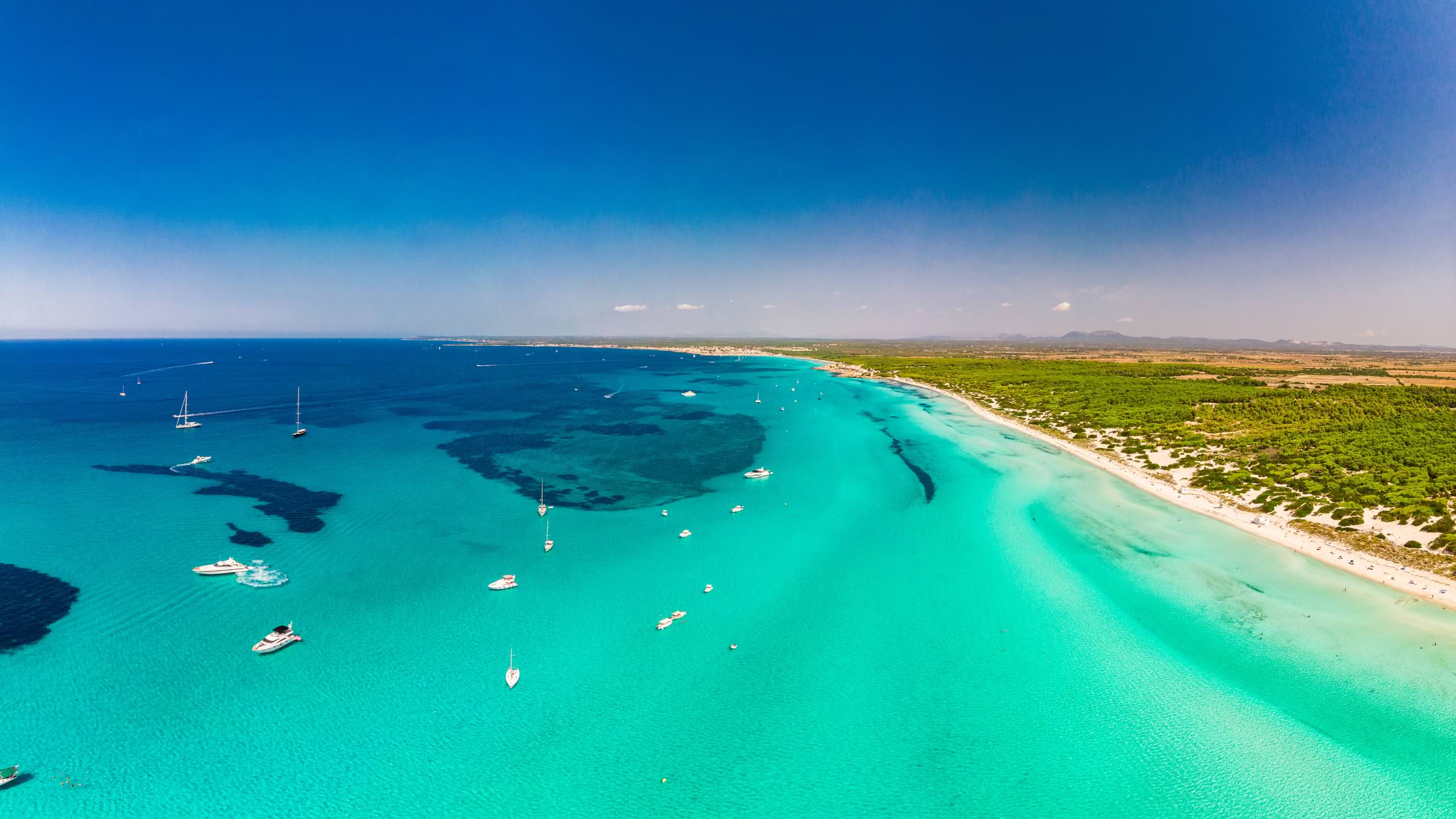
Speaking of anchoring – as the “best regions for anchoring,” the AI recommends the east coast first and foremost (gold medal), followed by the north (silver), and finally the south (bronze); the west is “only limitedly suitable” for anchoring.
Beautiful anchorage bays are also named by the AI – here you could additionally ask for detailed tips
The “Top 5 Must-Stop Anchorage Bays” named for us are: 1. Cala Varques, 2. Cala Mondragó, 3. Playa de Formentor, 4. Cala Tuent, and 5. Es Trenc. In general, it applies that many bays are “very crowded” in high season, so arriving early pays off. And: anchorage bays on the west coast “will not be a substitute for ports in bad weather.”
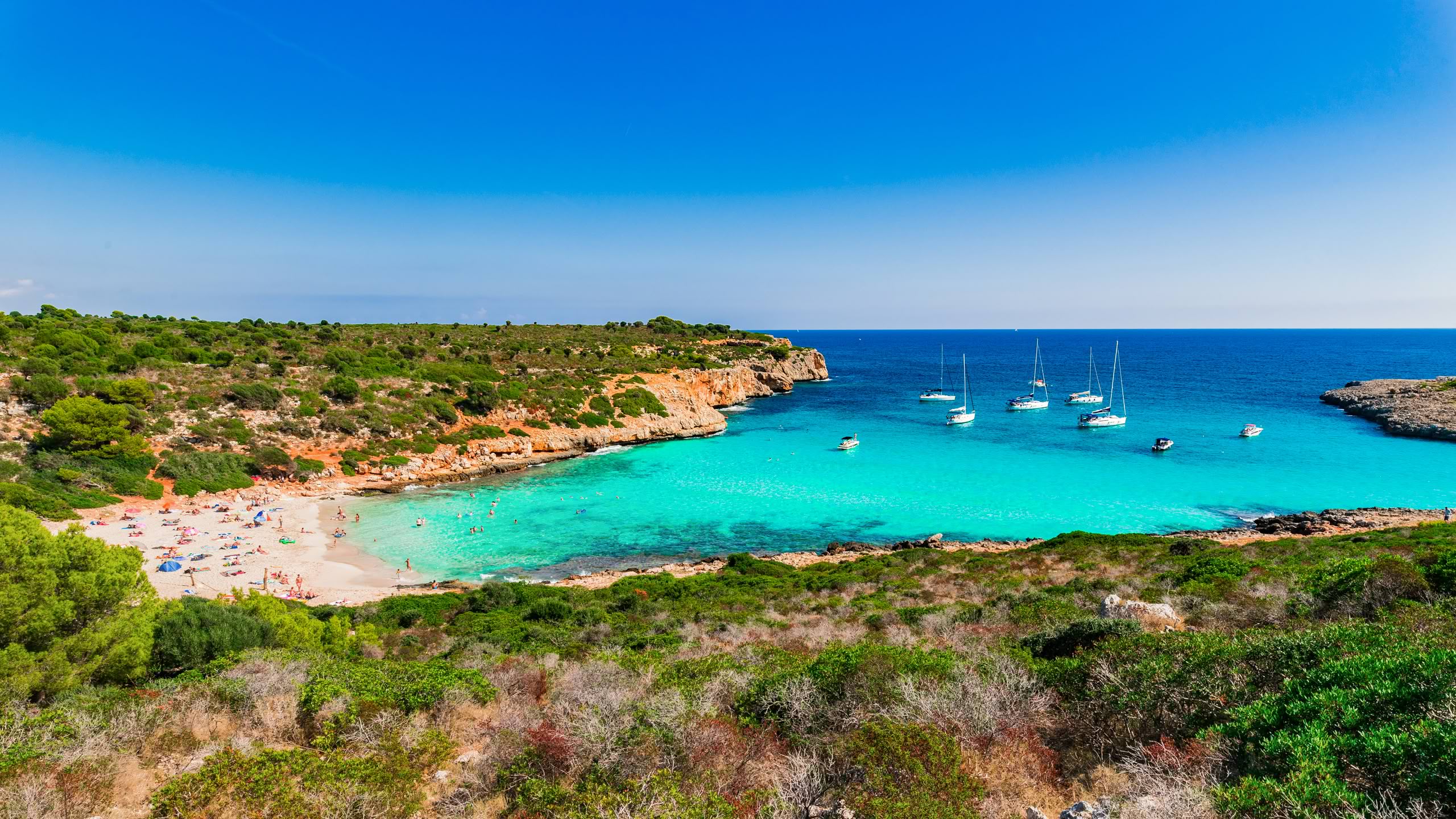
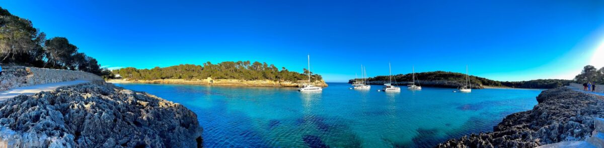
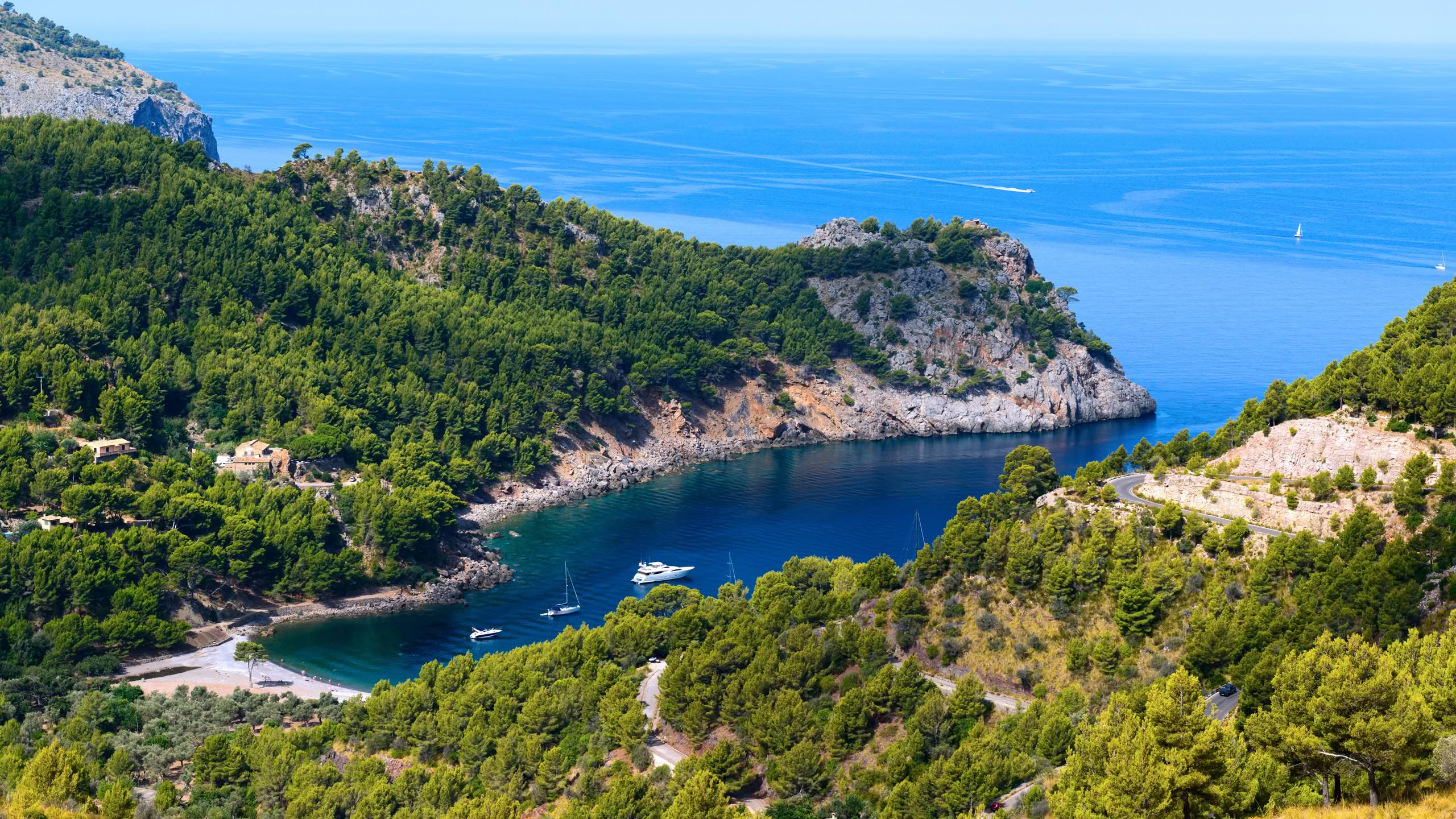
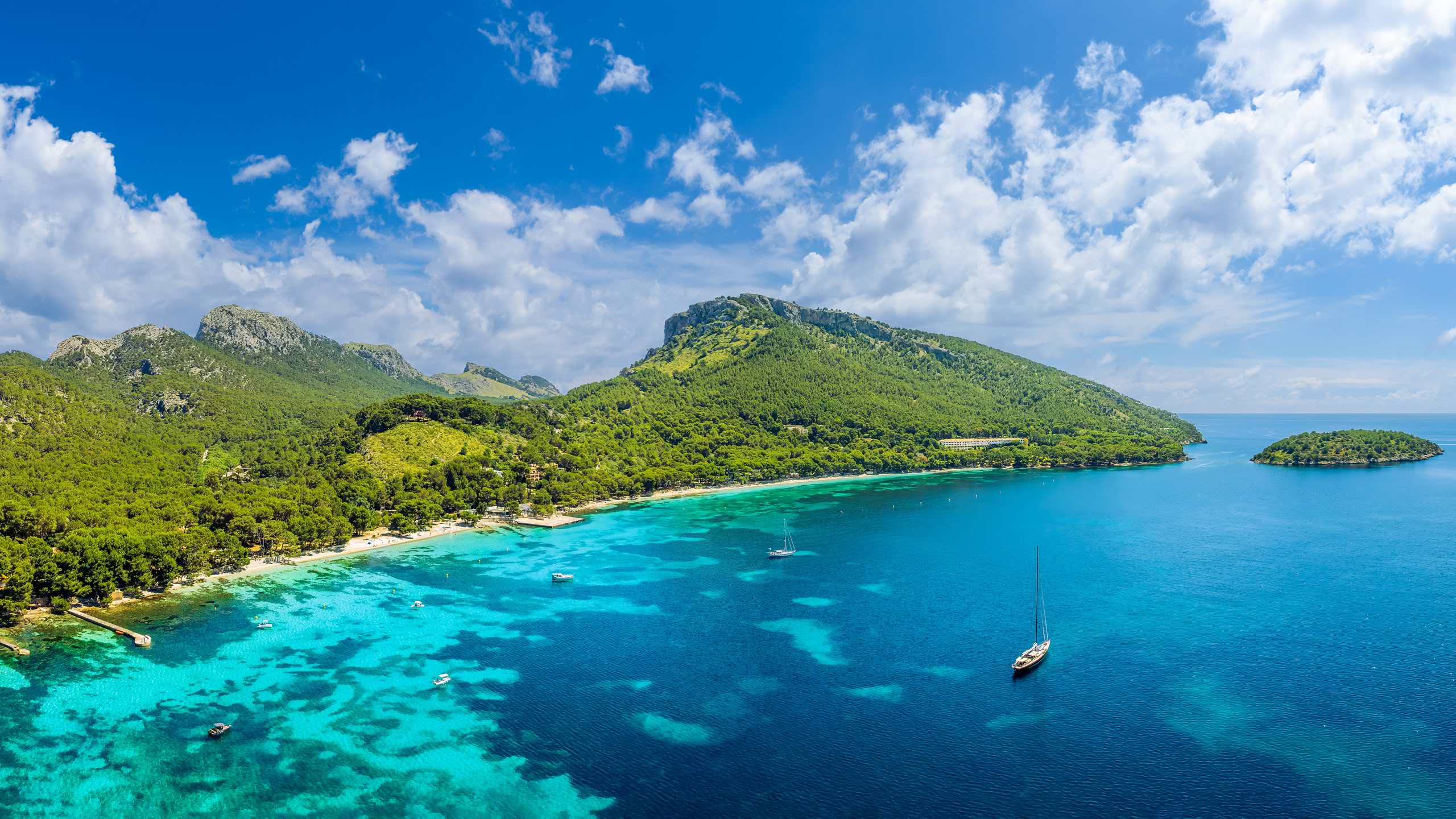
For Day 4, our “electronic travel planner” recommends the leg from Cala Tuent to Port de Pollença (~30 nm), stating that the “most spectacular coast” can be admired during this section of the cruise, and the destination is a “safe harbor.” Moving on: the stage from Pollença to Port d’Alcúdia (~10 nm) is scheduled for Day 5, which is a “relaxed day” that can be planned for supplies and as a crew break, the AI recommends.
On Day 6, the journey continues from Alcúdia to Cala Ratjada; the stage from the north to the transition to the east coast is relatively long at 25 nm. In return, reaching the east coast marks the beginning of a “relaxed” sailing section for the crew with “many beautiful bays.”
The AI plans Day 9 for us as a layday, we could use the day for a relaxed swimming day or as a buffer for bad weather
The leg from Cala Ratjada to Porto Cristo on Day 7 is similarly long, namely ~23 nm. According to our “sailing plan,” 18 nm are to be covered on Day 8 when setting sail from Porto Cristo towards Cala d’Or. (Port de Portocolom could also have been approached along the way, which would have shortened the stage somewhat).
The AI plans Day 9 for us as a “layday Cala d’Or,” noting this is “important for a relaxed swimming stop” or generally as a “weather buffer.” We would have appreciated it if the AI had shown us corresponding alternatives in each case – but as mentioned at the beginning, that depends on the way the question is formulated.
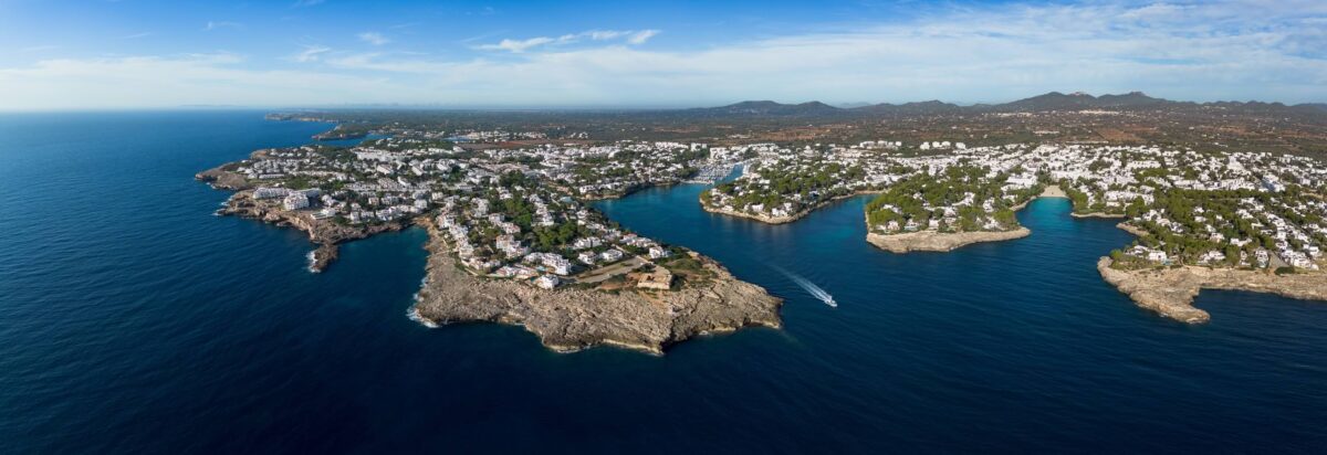
On the 10th sailing day, the stage from Cala d’Or to Colònia de Sant Jordi with around 30 nm is on the program, recommendation: “beautiful coast, fewer ports.” Instead of this note, we would have preferred information stating that the port of Colònia de Sant Jordi is comparatively small, offers limited berths, and is more suitable for small to medium-sized yachts. And after the relatively long day of sailing, the AI then grants the crew a “short cruise / relaxation day” on Day 11 for the stage from Colònia Sant Jordi to Sa Ràpita (~10 nm).
For Day 12, the AI plans the cruise from Sa Ràpita to El Arenal (Marina Moll Vell; ~24 nm), until finally, on the following Day 13, the return to Palma is on the agenda: the distance is about 9 nm, and this very short leg serves (at least also) as a “buffer and safety day.” Finally, Day 14 is intended as a “reserve / bad weather day” or for returning the boat.
The AI also named the “best anchorage bays per stage” for us and additionally provided a detailed “current price comparison for a 10 m berth” for the high season in Mallorca (with the note that prices are only “official” where they are also publicly available; the rest of the information is based merely on “estimates”).
Interactive Cruise Map
You are currently viewing a placeholder content from Google Maps. To access the actual content, click the button below. Please note that doing so will share data with third-party providers.
All locations and cruise stages are marked on the interactive map. (Symbol top left opens the sidebar, symbol top right opens the map in fullscreen)
The berth price recommendations are somewhat imprecise, but can serve as a good basis for further research
According to this, the costs (roughly) for our planned 14-day cruise would be: around €900–1,600 for 13 nights in port, and rather €1,400–2,200 if predominantly using premium ports. Note from the AI: Puerto Portals is “surprisingly moderate” for a 10 m yacht with a stated “official price” of €98 / night in the summer season 2026.
Conclusion: Our small experiment shows that it can certainly make sense to leave the rough advance planning to the AI, but the crucial factor is that the program can only answer as well as the questions are asked (personal goals / preferences). Advantage: the result comes immediately at the push of a button and can then be used as a basis for further (“actual”) planning and fine-tuning with the entire crew.
What we liked was that the program partially pointed out dangers, issued a “Plan B” in case of bad weather, and incorporated “buffer and safety days.” However, the fact remains that AI cannot replace human, careful planning – all proposals and tips issued by artificial intelligence must always be checked in detail for correctness – this is required by good seamanship. And: the principle applies that the plan serves the ship – and not vice versa; the good skipper does not sail according to the calendar, but according to the conditions.
“What we didn’t like was that the AI named anchorages even though we clearly asked for ports / marinas, and that no alternative options were made for the proposed cruise stops,” says Robert Perger from SeaHelp Balearics; since ports are usually very full during the season and there are few transit berths, anyone who reserves a berth firmly in advance is well advised. Although this limits flexibility on the cruise somewhat, you are on the “safe side” regarding a free box.
And: Especially when it comes to concretely evaluating areas and planning them into daily stages (draft, wind direction and strength, currents, possibly lee shore, etc.), or when alternative ports and emergency plans are worked out before the cruise, AI should not, cannot – and must not – completely replace the human sailor (skipper and crew).
In case of doubt, the following applies (this is how we would handle it): check current weather events, study charts and harbor handbooks – and then plan the cruise thoroughly with the crew before casting off. The AI’s route proposal can certainly serve as a useful supplement and source of ideas – but nothing more.
Because: Safety comes first – after all, the skipper recognizes dangers not only because of his knowledge, but above all because of his experience gathered over the years on board. Therefore, in case of doubt, he will plan “boringly,” which means: shorter daily stages, early port arrivals, reserved boxes, large weather buffers, and as few night sails as possible. Viewed from the outside, this may seem overly cautious. In reality, however, it can also be called professional risk minimization.