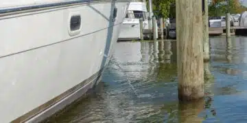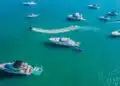









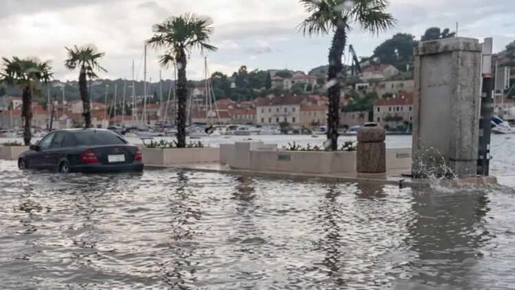
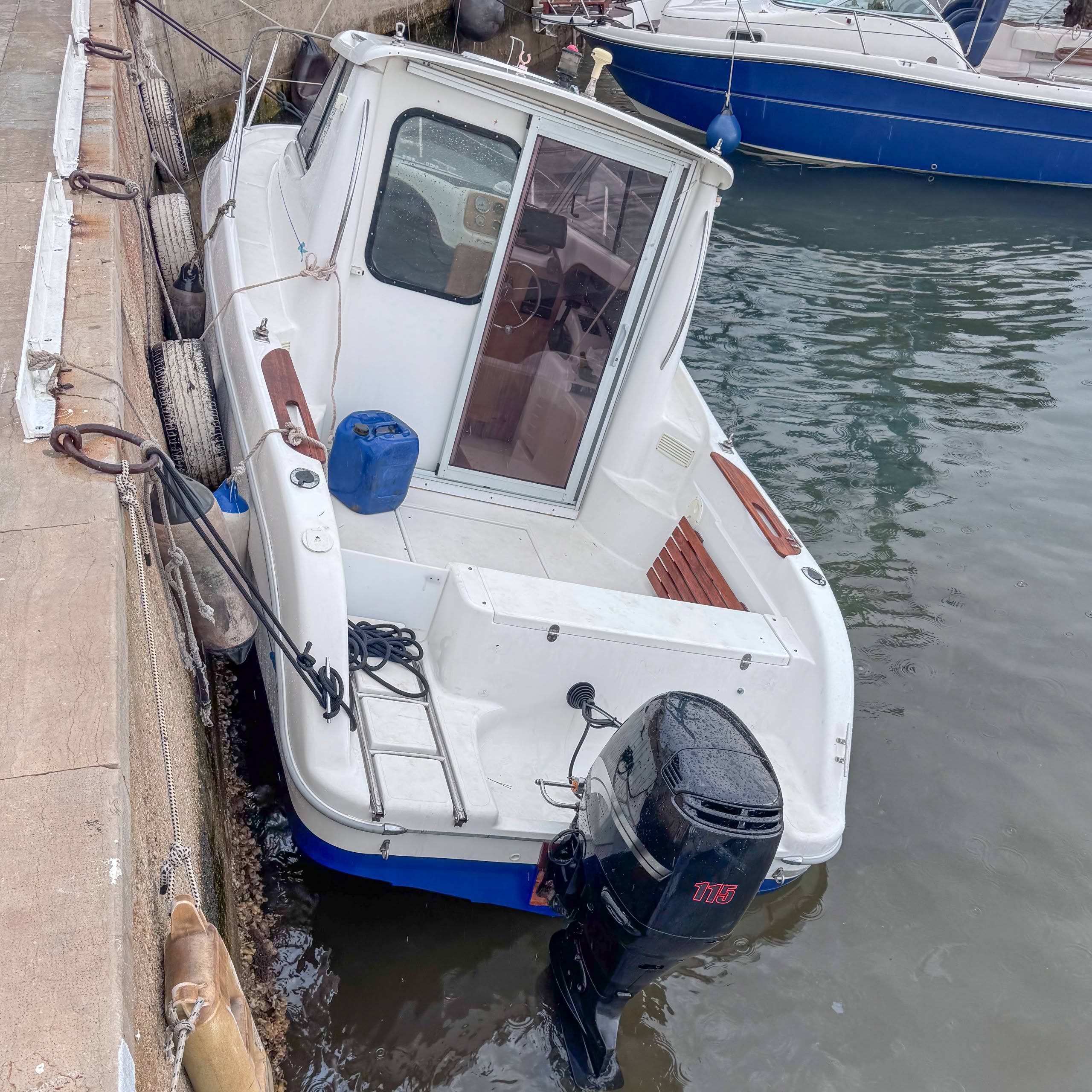
These are scenes more reminiscent of the Pacific than the Adriatic. On the afternoon of July 20, 2026, seawater suddenly surges over the quays and promenade in the harbor of Mali Lošinj. Street cafés are underwater within seconds, passersby flee, and boats are wrenched at their moorings. Shortly after, the water recedes just as abruptly. Some sport boats hang askew on their lines, while elsewhere the harbor floor is left almost dry.
The event was not triggered by an earthquake, but by a meteotsunami – a rare meteorological phenomenon that occurs time and again specifically in the Croatian Adriatic and poses considerable dangers for watersports enthusiasts.
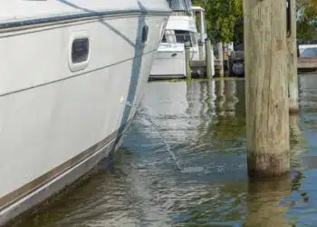
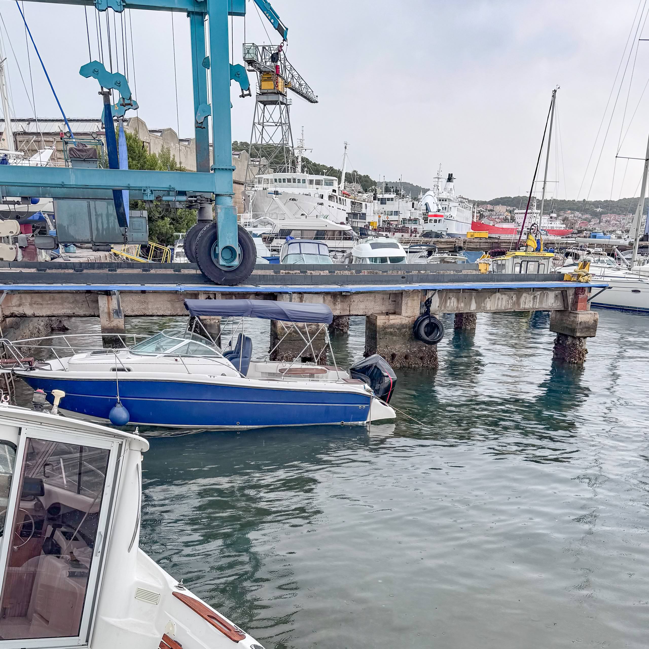
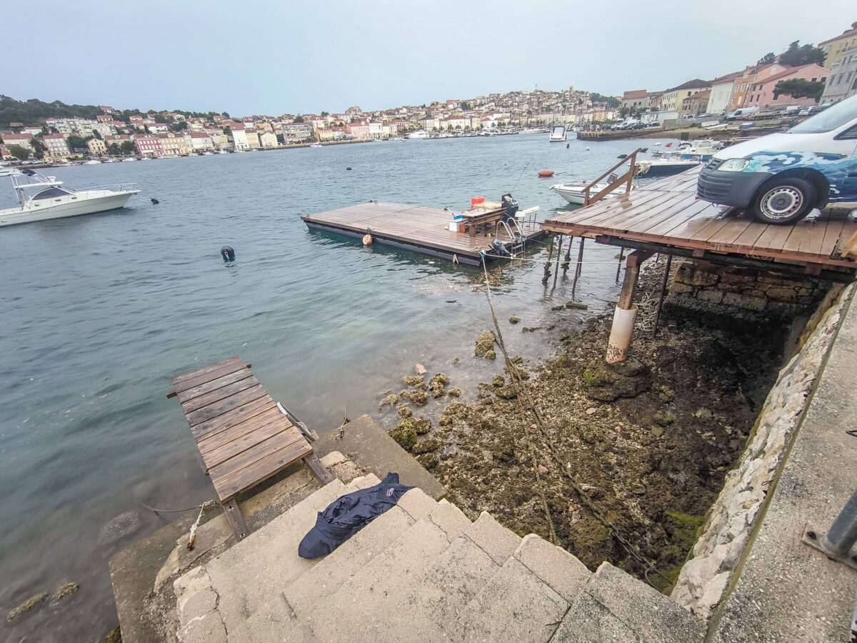
The photos, taken by local SeaHelp captain Stanko Kovačević, impressively document the aftermath: boats sitting suddenly deep below the quay wall, floating docks that have changed height, and mooring lines under extreme tension.
A tsunami from the atmosphere
The term sounds contradictory – yet a meteotsunami is fundamentally different from a classic tsunami. While the latter is caused by earthquakes or underwater landslides, a meteotsunami is triggered by the atmosphere.
The cause is usually rapid changes in air pressure associated with thunderstorm fronts or so-called squall lines. If such a pressure wave travels at nearly the same speed as the natural propagation of a water wave, it transfers its energy to the sea surface. Meteorologists refer to this as Proudman resonance.
The phenomenon becomes dangerous where elongated bays or narrow harbor basins further amplify the water movement. This creates what is known as a seiche – a standing oscillation that can raise or lower the water level by more than a meter within a few minutes.
Why Croatia in particular?
The eastern Adriatic is considered one of the best-studied meteotsunami regions in the world. Vela Luka on Korčula, Stari Grad on Hvar, and Mali Lošinj have been particularly affected for decades. There is even a dedicated Croatian term for the phenomenon: Šćiga – regionally also called Seš.
The comparatively frequent occurrence of these events is mainly due to the geography. Many harbor basins act like resonance chambers, in which the water oscillations become further amplified.
The real danger often comes afterward
Many eyewitnesses only notice the first surge of water. For sport boats, however, the real problem often only begins with the subsequent drop in water level.
Meteotsunamis usually consist of several oscillations. The water level rises, then drops rapidly, and can rise again shortly after. Strong cross currents develop in the harbors, putting extreme strain on mooring lines and cleats.
Boats moored with short, tightly set lines are particularly at risk. If the water level suddenly drops, they can effectively be left “hanging” from their moorings. If the water then rises again, this risks violent impacts against quay walls or mooring piles.
Can a meteotsunami be detected in advance?
A reliable forecast remains difficult. Nevertheless, there are warning signs.
Typical signs include rapidly approaching thunderstorm lines, sudden jumps in air pressure, squalls, and quick shifts in wind direction. Modern weather models can now identify regions of elevated risk fairly reliably. However, it often only becomes clear at very short notice whether water levels will actually build up and which harbor will be affected.
What sport skippers should keep in mind
Anyone sailing in the Croatian Adriatic should take thunderstorm warnings seriously – not just because of wind and waves.
Before setting sail:
- Follow DHMZ weather reports regularly.
- Where possible, avoid entering narrow harbor basins if thunderstorm lines are forecast.
- Prepare mooring lines and fenders for unusual fluctuations in water level.
In the harbor:
- Do not set lines excessively tight.
- Use long bow and stern lines as well as springs.
- Fender generously and check cleats regularly.
- Keep the engine ready to start when thunderstorms are approaching.
At anchor:
- Allow for sufficient swinging room.
- Activate an anchor alarm.
- Be prepared for sudden changes in current.
The motto is: stay calm
If a meteotsunami strikes unexpectedly, one thing matters above all: stay calm. Mooring lines should never be released by hand under high load. Nor is it advisable to head out to sea in a hurry. Outside narrow bays, the wave is usually significantly weaker than in the harbor. It only becomes critical where its energy concentrates at moles, harbor basins, or funnel-shaped bays.