
Whether a trip is to be planned, or a marina, a cozy anchorage, a Capitaneria, a Port Authority or a hospital is quickly sought during the cruise – the interactive map of the SeaHelp app helps quickly and reliably – at the touch of a button, so to speak. There are also many SeaHelp restaurant tips here, and for many places on the map there are also high-resolution 360-degree photos or drone videos to get you in the mood. Best of all, this service is free of charge*. So your vacation on the water can begin worry-free.
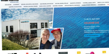
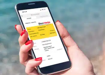
Download and use the SeaHelp service on your cell phone or tablet – that’s already been true for users of the handy SeaHelp app, which you can easily download for free from popular stores.
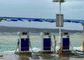
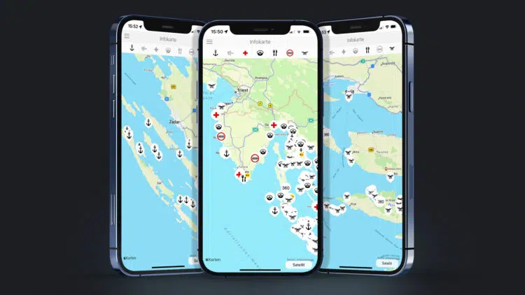
In addition to the man-and-material-saving SOS function, the latest news and messages about yachts and areas, a GPS / compass, a gas station map, weather and tide applications, as well as information on the right yacht insurance, there is also a lot of useful information for sports skippers under the menu item “info card”.
Functions simply and reliably – for iOS and Android devices
And this is how it works: In the menu of the SeaHelp app, which is available for iOS and Android devices, open the item “Infocard” at the bottom left. Attention: Under “User data” Adria should be clicked. And then the easy-to-understand, interactive map opens. At the very top of the map there are seven different icons, which you can activate all together or individually.
If you select the drone icon on the far right, for example, you can select various locations on the map that you would like to take a “closer look” at, because: Drone icons on the map section mark available drone videos; the number 360 indicates that there is a 360-degree photo of the location in question. Select icon, click – and the shot is displayed.
Seven different icons stand for seven different SeaHelp services – free of charge, of course*
If medical help is needed on board, you activate the icon with the red cross on a white background. Immediately dozens of contact points of doctors and hospitals appear on the map – each with the current phone number.
In conjunction with the marina icon, you can quickly find the nearest doctor who is located near a dock in a port. The corresponding telephone number for the marinas is also available at the push of a button.
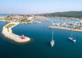
In addition to ports of entry and popular restaurants, the SeaHelp app also makes it child’s play to find safe anchorages. If you’re not sure whether the anchorage is suitable, simply watch the corresponding drone videos or 360-degree panorama photos on the map in advance (if already available, map is constantly being expanded). Then the crew can simply decide whether it is worth visiting with their own boat or yacht.
24h NOTRUF EUROPA: 0043 50 43 112
In einem Notfall können die Einsatzboote von SeaHelp mittels der praktischen SeaHelp-App, oder unter der kostenlosen Notrufnummer für Europa 0043 50 43 112 (bzw. unter der alternativen Notrufnummer für Europa 00385 919 112 112 gerufen werden.
Download SeaHelp-App:


* es können Endgeräte- oder Kosten von Telekommunikationsdiensten anfallen