
New area guide in the starting blocks
A SeaHelp spokesperson: “The new, even more user-friendly version is technically already on the home stretch, but due to requests from numerous members who missed the district leader in its previous form, we have initially put the modified previous version back online for the transition period.
Ideal preparation for a trip
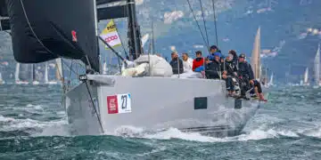
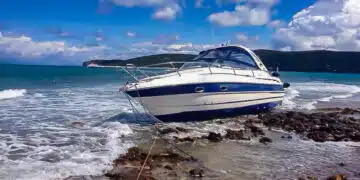
Obviously SeaHelp members seem to be investing a lot of effort in preparing for the summer sailing trip, as the high number of hits on the homepage suggests. But also with regard to the current situation around the corona virus and the restrictions associated with it, members, interested parties and friends of the leading European nautical breakdown service SeaHelp naturally do not want to miss any news and would like to get an impression of the situation on the spot by means of neutral, self-researched facts, not “alternative facts”.
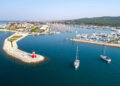
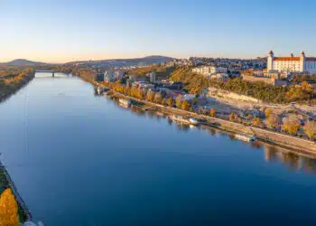
Locations on the Croatian coast
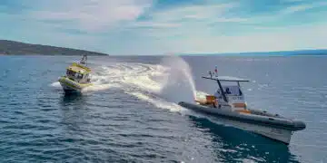
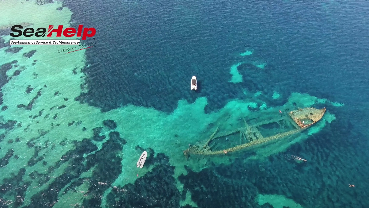
But until hopefully the borders open again soon, the SeaHelp area guide will provide enough material to prepare for the coming season or to review the last season. Interesting drone videos showing the coast as well as the most important locations for skippers along the more than 6,000 kilometers of coastline (with islands, without islands 1,777 kilometers coastline, editor’s note).
Marinas, anchor bays, restaurants
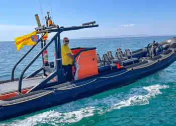
Whether anchor bays, buoy fields, marinas, city harbours or selected restaurants, in the SeaHelp area guide you will find everything you need when it comes to Croatia. The SeaHelp recommendation: Just browse around, and the many YouTube videos on the SeaHelp channel will make you want to go to sea. By the way: In 2020, the SeaHelp video channel will continue to be expanded just like the restaurant guide.
Stream on TV
By the way, if you want to enjoy the videos from the comfort of your armchair, you can have them streamed to your home TV set using a streaming stick (e.g. Amazon Fire TV) – in HD quality, of course, as long as the current situation does not cause the video to be throttled down.
And one more thing on its own behalf: SeaHelp content can also be consumed on Facebook and Instagram. It’s definitely worth a visit, so that the “withdrawal symptoms” after the ship and the landscape are not too severe.
Here’s a little foretaste:
[social_board id=”12161″ type=”wall”]